Innovation to diffusion
GISIG is an Association operating in the field of Geographical Information Systems, grouping organisations from more than 20 European Countries.
GISIG represents a reference centre for common initiatives among GIS operators and users, also acting through the promotion of European projects and the establishment of thematic networks and national secretariats. Learn more…
- We promote and coordinate European funded projects
- We establish thematic networks for a collaboration environment
- We promote training initiatives about GIS and their applications
- We promote networking initiatives for GIS operators and users
- We group together universities, enterprises and administrations
Featured Projects
spaceSUITE
Earth Observation/Geoinformation training, EO, Training
An innovative curricula in training and education to bridge the gap between the skills’ supply and changing demand in the downstream space sector.
DIS4SME
Data Integration, Interoperability, Training
Training courses on geospatial Data Interoperability Skills for SMEs
100KTrees
Copernicus, Earth Observation/Geoinformation training, Environment, Nature Based Solutions, Smart City
Data from space and citizens' engagement to help European cities become greener

SPACE4GEO Large-scale Skills Partnership
Copernicus, Earth Observation/Geoinformation training
SPACE4GEO is the Large-scale Skills Partnership for the space sector dedicated to data, services and applications
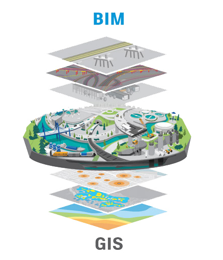
BIRGIT
BIM, Data Integration, Training
Interdisciplinary training courses to provide competences and skills for successful BIM-GIS integration.
The GISIG Training Library
The GISIG Association makes available a number of training resources coming from research projects, European training initiatives and the GISIG Members.
Check a selection of these GIS, INSPIRE and COPERNICUS courses in our dedicated training page.
Access to the GISIG Training Modules is free of charge but registration is required.
Latest News & Events
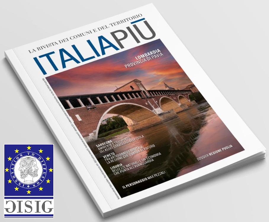
GISIG featured in the “Italia Più” magazine
We are pleased to share that our company has been featured in “Italia Più, The Italian Magazine of Municipalities and the Territory“.Italia Più is a prestigious publication dedicated to communicating, informing, and promoting Italy’s territories and their excellence.