
Technologies for integrated monitoring and mitigation applied to geomorphological risk and management of multi-utility service networks in landslide areas
MONITOR is a 2-year research project funded by the POR FSE 2014 – 2020 of Regione Liguria.
The MONITOR project
The project aims to link the satellite/remote sensing data to on-site observations and measurements with numerical terrain analysis, in order to monitor the utility networks (water and energy) and manage their potential risk of failure induced both by geomorphological and structural factors in a forecasting perspective.
The study area is placed in the metropolitan area of Genova (North-West Italy) characterized by a hilly and coastal environment, particularly affected by landslides and floods particularly in autumn. Here the utility networks are intrinsically vulnerable due to their density.
Speaking about remote sensing technology, Permanent Scatters (PS) are being used in the differential interferometry tecnhique (DInSAR). PS are points originated by the reflection on the ground/rocks/buildings of C-band micro-waves rays shooted by satellites (Sentinel 1A and 1B of ESA Copernicus constellation).
The measurement consists on the PS displacement in millimeters due to landslides movement or subsidence.
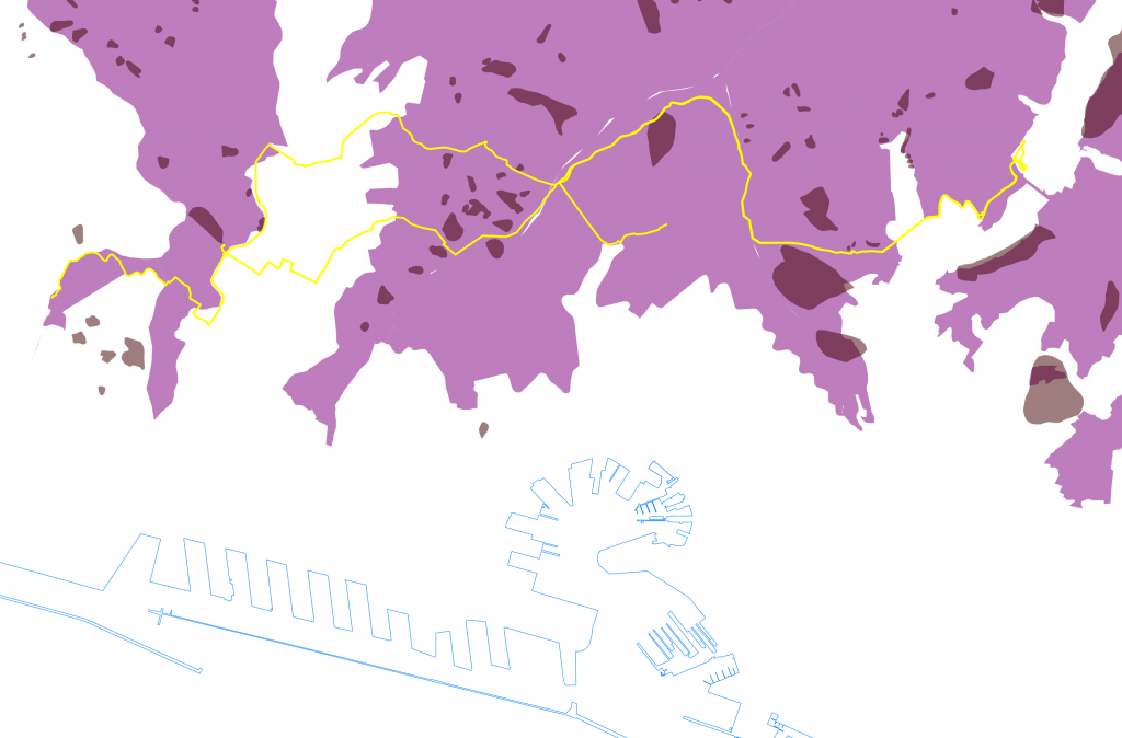
Landslide risk areas and methane pipeline in Genova, Italy.
For this reason, MONITOR project explores a multidisciplinary approach that combines the landslide susceptibility map for the management of geo-hydrological events with studies to estimates the rain intensity thresholds triggering landslides. Moreover, the research identifies and proposes Nature Based Solutions (NBS) as possible interventions to mitigate hydro-meteorological events and to mitigate the landslide risk associated to the presence of critical underground assets.
Involved companies: GISIG and IREN spa
Interested subject: Planetek Italia s.r.l.
Duration: October 2019 – September 2021
Contact: Alessandra Marchese, GISIG