
Supporting the User Uptake strategy to maximise the adoption of Copernicus data and information in Europe.
Funded under the program European Social Fund, Liguria Region 2014-2020, Axis 3, specific objective 10.5.
Context
The European Program Copernicus is one of the main sources of free and open Earth Observation data, aimed at sustaining important social and economic advancements to the European Union.
To achieve these goals, User Uptake initiatives have been undertaken: they aim at increasing Copernicus awareness, dissemination and competences, thus supporting the development of downstream applications.
The key objectives are to support an ecosystem of service providers, public or private, that transform space data into accessible and usable information and to promote the use and uptake of Copernicus data, products, services, and good practices among a wide range of user communities.
However, the heterogeneity of users communities, as well as the dispersion of users at different geographic levels within public authorities make user uptake initiatives complex to manage.
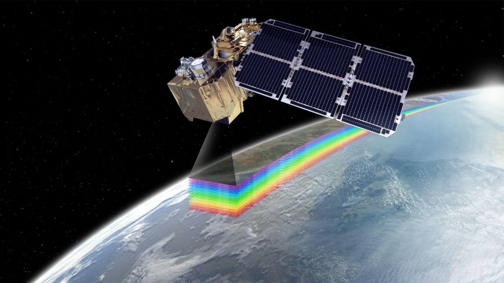
Sentinel-2A
Objectives
EO-UPTAKE project main objective is to increase the widespread of Copernicus competences fostering the collaboration between scientific training and the productive sector in Italy.
EO-UPTAKE mission is to strengthen the competitiveness of the Italian Region Liguria through a new strategy which increases interactions between science and tertiary sector, research and innovation.
Specific Objectives:
- to bridge the skill gap between intermediate and end-user by strengthening the existing ecosystem of skills
- To promote the use and integration of Copernicus data and services supporting innovative applications for end-users.
- Among the missions of the project is the assignment of a research grant for training a young researcher, aiming at the technological transfer of skills in the EO sector, from research centres to companies potentially interested in the downstream sector.
Outcomes
EO-UPTAKE is a two-year project, started on November 2019.
The main project outcome is the tdentification of a set of procedures and guidelines for access, use, and integration of Copernicus resources regardless of domain.
The project will also provide processing workflows for the realization of concrete examples of applications in different application sectors. In particular, it focuses on four sectors and specific scenarios:
- Agriculture (e.g. precision farming applications),
- Forestry (e.g. forest monitoring),
- Urban Monitoring (i.e. identification of illegal landfill) and
- Management of Natural Disasters (i.e.food emergencies).
Actions
The following actions are foreseen to achieve the project results:
- Copernicus State-of-the-Art is studied providing insights about the state of play of Copernicus data research and use. The study of the academic literature as well a large amount of EC Copernicus reports aims to provide a classification of the type of utilization, benefits, and barriers of Copernicus data usage.
- Involvement of external Supporting Companies for the collection and definition of specific requirements in the different areas of interest.
- Technology transfer strategies of the results achieved, finalizing its action on the use within the companies operating in the research sectors indicated in the project.
- Outcomes dissemination through participation and presentation of results at international conferences, local, regional and national events aimed at both the scientific and industrial communities. Dissemination is also performed in collaboration with GISIG through its network of national and international contacts.
Consortium
The success of the research result is supported by the cooperation of the partners with complementary skills: the coordinator research partner who has skills in innovative information technologies and applied research in various disciplinary areas, the company partner has interdisciplinary skills in the field of territory and carries out national and international technology transfer actions.
This collaboration will be enriched by the know-how of external supporters (intermediate user and end-user of Copernicus Downstream industry) who have sectoral skills specific to the various disciplinary areas. Other stakeholders will also be considered as potential stakeholders as users of the search results.